
| Geograpfic information | Tourist information | Toutist tracks | Natural atractions | |||
Geographical coordinates
DN 18, km 125; 47o 75' Northern latitude and 24o 40' Eastern longitude.
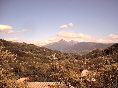
The city is situated in the Eastern part of Maramures county, the South-Western
part of Maramures , between the Viseu and Wasser rivers, on both sides
of these rivers, at 30 km from the Pietrosul Rodnei mountain(2.305 m)
and 40 km from the Vf. Pop Ivan peak (1.937 m) of Maramuresului mountains
Geographical limits: N - Ucraina, S - Sacel village, E - Moisei village, V - Viseu de Jos and Poienile de sub Munte villages.
Surface: 44.000 hectare, of what 36.000 ha woods.
Clime:
temperat continental
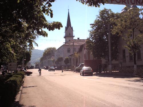
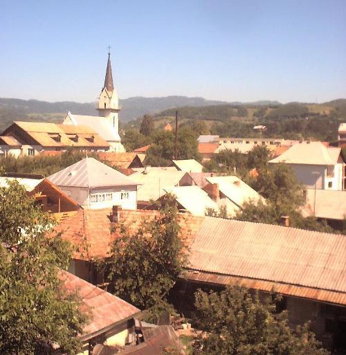
Viseu de Sus city: narrow place, located in the passing area from
Tiblesului volcan mountains through Maramuresului and Rodnei mountains.
The mineral water sources located in the heart of the city prove a previous
volcanic activity, and the minerals rifh in polymetals from Waser Valley
are witnesses of ancient volcan erruptions.
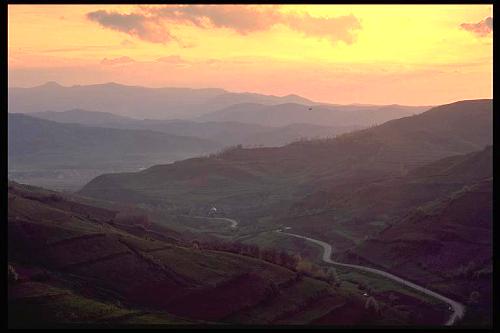 Viseu corridor, the main ax passing by Maramures, is bordered at
Easters side of small mountains (1.100-1.200 m), forming the borde of
the high tops of Maramures Mountains, overpassing 1.900m (Pop Ivan,
Farcau, Mihailescu). At the Western side the corridor is limited by
Viseu top, between Viseu and Iza rivers, but at a small altitude (600-700
m). Close to the Viseu river mouth in Tisa, the valley is narrowed.
The two rivers have well developed terrases:: 1. parc, between the rivers,
where the city is located; 2. Bridges, on the right side: 35 meters
from the river level, going down to Viseu de Jos; 3. Arsita, on the
left, higher.
Viseu corridor, the main ax passing by Maramures, is bordered at
Easters side of small mountains (1.100-1.200 m), forming the borde of
the high tops of Maramures Mountains, overpassing 1.900m (Pop Ivan,
Farcau, Mihailescu). At the Western side the corridor is limited by
Viseu top, between Viseu and Iza rivers, but at a small altitude (600-700
m). Close to the Viseu river mouth in Tisa, the valley is narrowed.
The two rivers have well developed terrases:: 1. parc, between the rivers,
where the city is located; 2. Bridges, on the right side: 35 meters
from the river level, going down to Viseu de Jos; 3. Arsita, on the
left, higher.
 Hydrographic network:
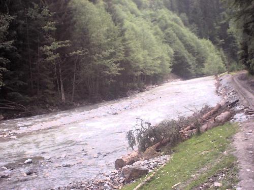
The Viseu river springs from the Rodnei mountains, right under the
Prislop passage, at 1409 m altitude. It is formed by the rivers Viseut,
Fântâna and Cisla. It is 77 km long and joins the Tisa at 330 m altitude
in the Valea Viseului city.
The Wasser river springs from the Maramuresului mountains, it is
formed by the Boului spring and Munceii Albi spring. It is 62 km long
and it is the most important river of the Viseu with an even more signigicant
flow than this.
|
|